Visit the The Mill River Greenway in Industrial Florence Story Map
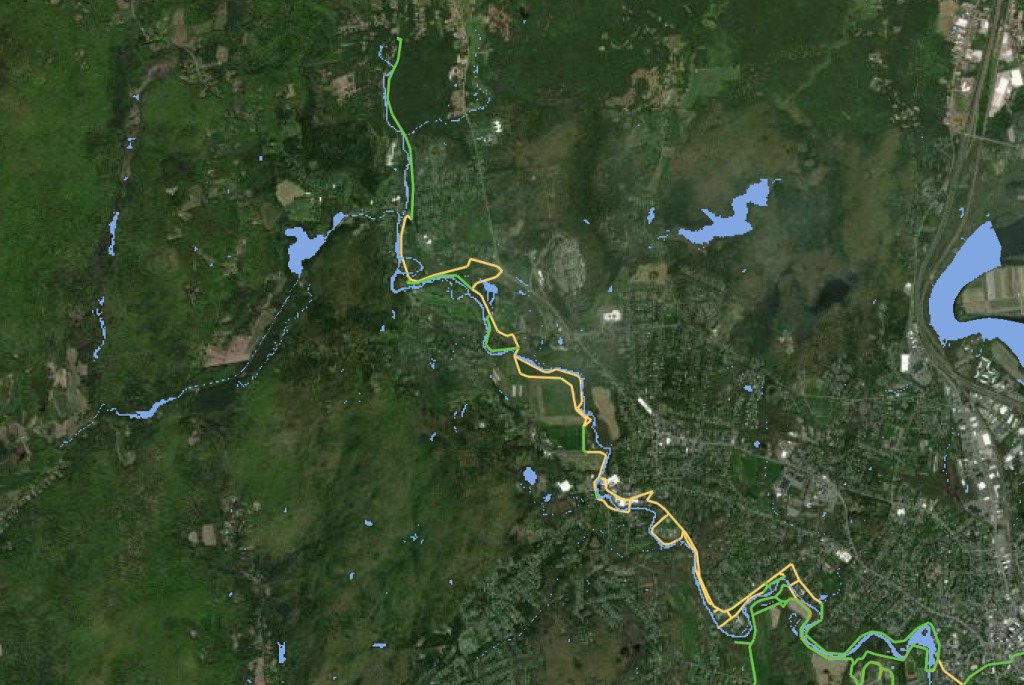
This story map will walk you through the twists and turns of design possibilities for the Mill River Greenway as it passes through downtown Florence, MA. As the story follows the bends of the Mill River, you will experience what was, what is, and what could be in Industrial Florence. We would like to acknowledge that the region that we are focusing on in this project and occupy as settlers is Nonotuck land, as well as recognize the native nations we neighbor–the Nipmuc and Wampanoag to the East, to the South the Mohegan and Pequot, the Mohican to the West, and the Abenaki people to the North. In the fall of 2020, the question was posed to us, “how do we facilitate reconnection with the Mill River” and more specifically, “what could that physically look like in Industrial Florence?” With advising from Gaby Immerman and Reid Bertone-Johnson, as well as in collaboration with Joe Brooks-Kahn, a Northampton High School student, this project aims to answer those questions. The area of focus in Florence has been divided into three sections: Maines Field, a city-owned recreational area; the stretch between Maines Field and the Grow Food Northampton Community Farm, and Grow Food Northampton’s South Field. In addition to this document, other materials about these locations–photographs, maps, drone footage, notes, etc.– have been compiled.