In Liebe Ganz Mein Egan
Stollwerck Sammel-Album No. 15, Jungdeutschland
Der Weltkrieg: 18. Die Schlacht in Flandern
Another test
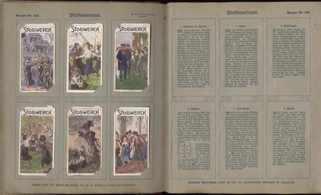
Will this work?

Here's a sample description.
Der Weltkrieg
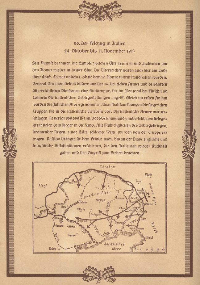
Der Weltkrieg: 18. Die Schlacht in Flandern
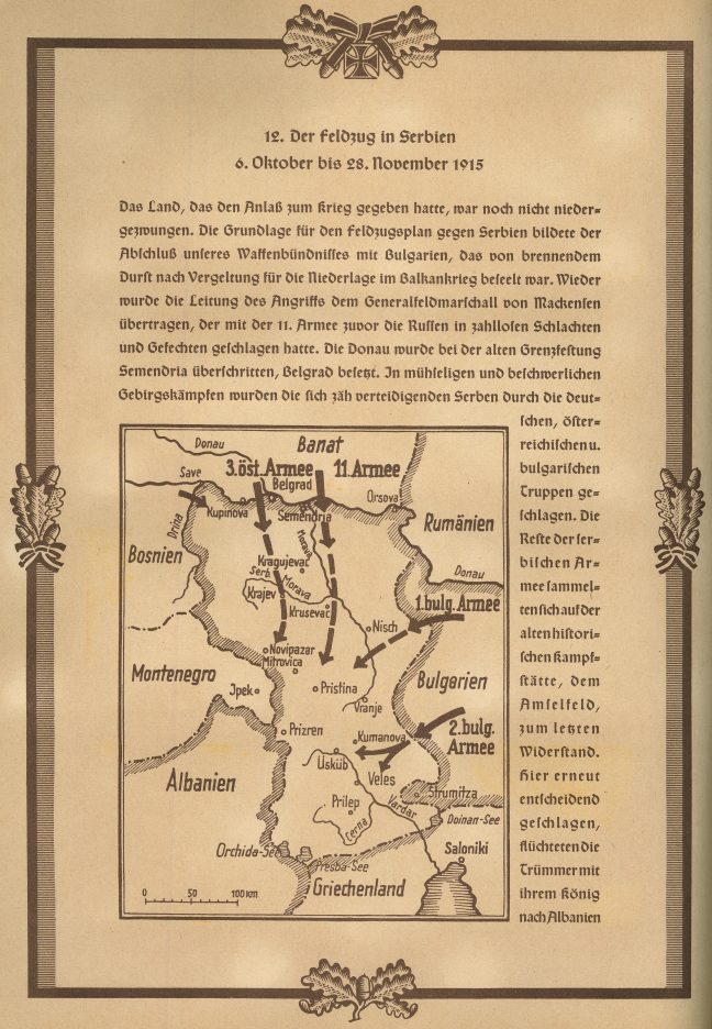
Burger und Urbeiter!
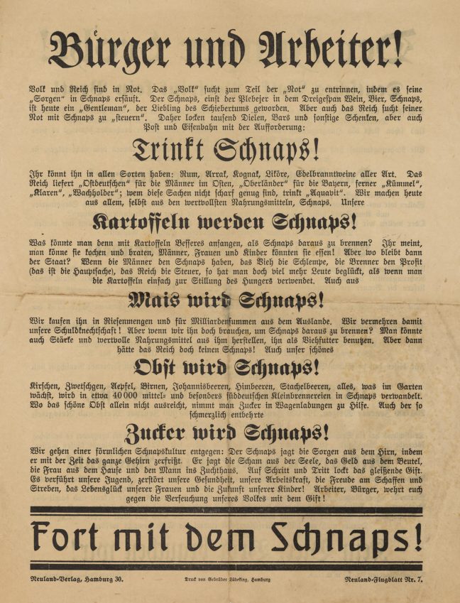
This is an advertisement and piece of propaganda proclaiming that a patriotic act would be for Germans to stop drinking beer and only drink Schnaps. Beer is made of wheat and other ingredients that would have been better used for bread and other sustenance for children, women, and old people, all of whom it was … Continue reading Burger und Urbeiter!
Deutsche Kolonien (Germany Colonies)
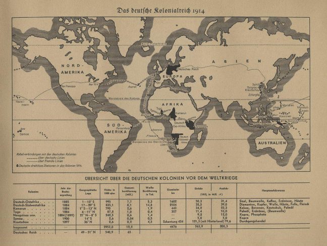
This map was published by the Cigarette Picture Service in Hamburg, Germany. The map details the ‘German Colonial Empire in 1914’, showing an overview of the German colonies (pre-WW1), as well as information into the different colonies’ year of establishment, location, area, population, railway, imports, and exports. This helps the viewer understand just how much … Continue reading Deutsche Kolonien (Germany Colonies)
